Aerial Imagery
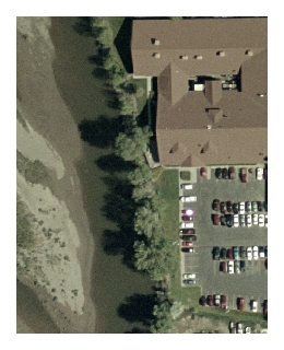 Most of the aerial photos listed on this page are downloadable files in MrSID format, intended for use with Geographic Information System software. The images may also be viewed with the free MrSID viewer available from Extensis. Additional information about MrSID files is available here.
High-Resolution Orthophotography
- 2020
- Zipfile of the image (1/2 foot resolution) in .TIF format
- KMZ of the image to be viewed in Google Earth
- 2011
Each link below is for a large (2-15 Gb) MrSID image of the river corridor in one county. Please contact us if you need to have these files sent to you. - 2007
Each link below goes to a web page where you may download images for part of the county or the entire county. - 2004
Each link below goes to a web page where you may download images for part of the county or the entire county. - 2001 Color Infrared (all counties except Park)
- 1999 Park County
Orthophotos of Montana from the National Agricultural Imagery Program
- 2015 – download – map service
- 2013 – download – map service
- 2011 – download – map service
- 2009 – download – map service
- 2005 – download – map service
- 2005-2006 Color Infrared map service
Historic Aerial Photography
Includes aerial photographs and aerial photo mosaics from which other baseline datasets, such as banklines and flowlines are extracted. The historic bankline and flowline datasets are then used to develop indicators of change within the Yellowstone River stream corridor. They are a foundational element of the Yellowstone River Cumulative Effects Assessment because they allow detection of change within the stream corridor over the last 55+ years.
- 1950 Black and White Photos (All Counties except Park)
- 1954 Black and White Photos (Park County)
- 1973 Black and White Photos (Park County)
- 1976 Black and White Photos (All Counties except Park, Richland, and McKenzie)
- 1977 Color Photos (Glendive to ND state line)
- 1997 Flood, Black and White Photos (Reed Point to Custer)
- 1990s (mostly 1996) USGS Black and White Digital Orthophoto Quadrangles
Yellowstone Clearinghouse Home
Yellowstone River Final Reports
- Cumulative Effects Analysis (CEA)
- CEA Technical Appendices
- CEA Executive Summary
- Reach Narratives
- Recommended Practices and Position Statements
- Governor's Upper Yellowstone Task Force (1997-2003)
Maps
- Online Map Viewer
- Reach Story Map 1: Overview
- Reach Story Map 2: Details
- Yellowstone Reference Maps
- Maps Selected from Technical Reports
Data and Technical Reports
- Imagery and Topographic Mapping
- Hydrology and Hydraulics
- Land Use and Physical Features
- Geomorphology
- Biology
- Socioeconomics
- List of Available GIS Data
Contact Info
