Hydrologic Units
A hydrologic unit is the area of land surrounding a hydrologic feature, such as a stream, river, or lake, and includes all of the land area that drains into that feature. For example, the
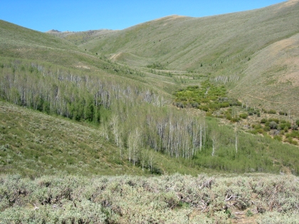
Missouri River hydrologic unit includes the Missouri River, all tributaries to it, and the entire surface area of land that drains into it.
The National Watershed Boundary Dataset (WBD) and National Hydrography Dataset (NHD) have been retired and will be replaced by the USGS 3D Hydrography Program (3DHP). The data download below provides the final snapshot of the WBD published 1/5/2025.
Data and Documentation
The MSDI Hydrologic Units dataset is derived from the most recently published USGS National Hydrography Database (NHD). It is provided in two different formats: a file geodatabase (version 10.2) which includes the 8-digit, 10-digit and 12-digit HUCS for Montana, and separate ESRI shapefiles for each of these HUC levels. For all products the data is provided in NAD 1983 (2011) Montana State Plane (FIPS 2500) coordinates. Download MSDI Hydrologic Units Data .
About
The Hydrologic Units framework dataset is also known as the Watershed Boundary Dataset (WBD). The Hydrologic Units dataset is a digital model of several nested levels of hydrologic unit boundaries and it provides a uniquely-identified and uniform method of subdividing large drainage areas.
Each unit has a numeric identifier—a hydrologic unit code or “HUC.” Hydrologic units are nested within each other such that a large drainage area, such as the Yellowstone River, is made up of many smaller drainage areas, such as the Powder, Tongue, Clarks Fork and Bighorn Rivers. The numeric HUC identifiers reflect this nesting as well. A unit’s HUC is a concatenated number built using its own unique identifier plus all of that unit’s “parent” hydrologic units’ codes. Example: 10030101
- Subregion (4 digit HUC)
- Basin (6 digit HUC)
- Subbasin (8 digit HUC)
- Watershed (10 digit HUC)
- Subwatershed (12 digit HUC)
- Watershed (10 digit HUC)
- Subbasin (8 digit HUC)
- Basin (6 digit HUC)
Theme Lead
Nathan Parry
Acting Montana State Soil Scientist
U.S. Department of Agriculture
nathan.parry@usda.gov
406-587-6834
