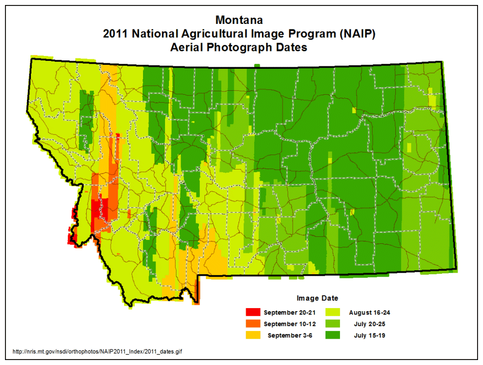
Aerial Photos of Montana, 2011
U.S. Farm Service Agency - National Agricultural Imagery Program (NAIP)
Click on a square in the map below to download the photograph of the area.
These photos are in MrSID format and Montana State Plane coordinates, units meters, datum NAD83 (HARN). The photos are three-band images with the visible wavelengths. Each image is about 110 megabytes in size.
These data, including an infrared band, are available as a web service that allows seamless access to imagery of the full state without the need to download individual tiles. The US Dept of Agriculture has services with the latest nationwide photos at https://gis.apfo.usda.gov/ArcGIS/rest/services/NAIP.
Please see our Ordering Aerial Photos page if you need a large number of these images, if you require images with an infrared band, or if you require the images in TIFF format.
The approximate horizontal accuracy of these images is 5 meters.
