Aerial Photos of Montana, 2017
USDA Farm Service Agency - National Agricultural Imagery Program (NAIP)
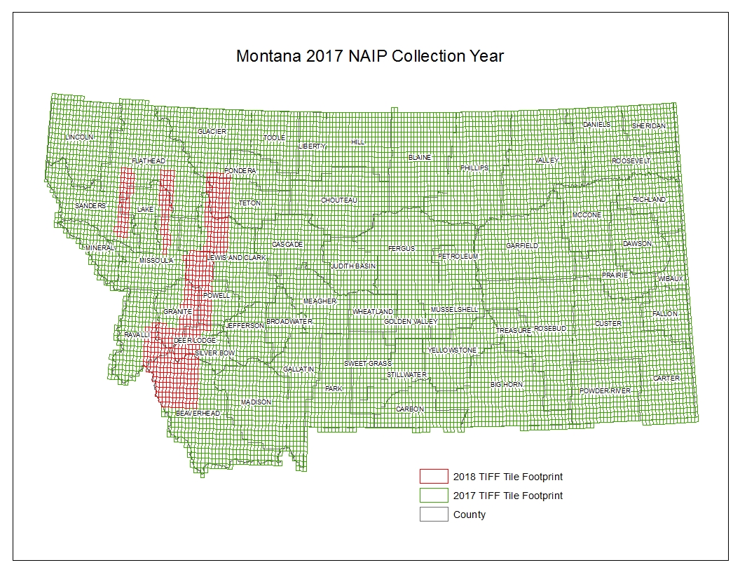
Due to cloud cover, wildfire smoke, and snow cover, the original 2017 NAIP product included a few gaps in coverage. The missing areas were collected in the summer of 2018. A map showing areas collected in each year can be found here.
Click on a county in the map below to download the 4-band county mosaic images of the area. Or download the county mosaic images directly from the ftp site.
These images have been compressed from the original quarter-quad tiles and are provided in MrSID MG4 format and Universal Transverse Mercator (UTM) coordinates, units meters, datum NAD83. MrSID MG4 is supported in ArcGIS 10.1 and newer. The imagery was collected at a spatial resolution of 60 centimeters, with each pixel measuring roughly two feet on the ground.
The downloadable products are multi-band images with three visible and one near-infrared wavelength bands, and an alpha band for identifying no-data areas. Most software will automatically display the first three bands as a natural-color image. To view the imagery as color infrared (CIR or false color), use band four as the red image, band one as the green, and band two as the blue.
These data, including the color infrared band, are available as a web service that allows seamless access to the imagery of the full state without the need to download individual tiles.
Please see our Ordering Aerial Photos page if you need copies of the imagery for numerous counties or if you require the uncompressed quarter-quad tiles in TIFF format.
The approximate horizontal accuracy of these images is 5 meters.
