LiDAR Data, All Returns
LiDAR is a laser imaging technology that can produce a three-dimensional model of the land surface and objects on the land surface such as vegetation and structures. This "All Returns" data has contains x, y, and z coordinates of all objects that were imaged, post-processed to remove noise, birds, haze, and smoke.
These data are in Montana State Plane coordinates, NAD83, HARN. The horizontal units of the coordinate system are U.S. Survey Feet. The vertical datum is NAVD 88, Geoid03.
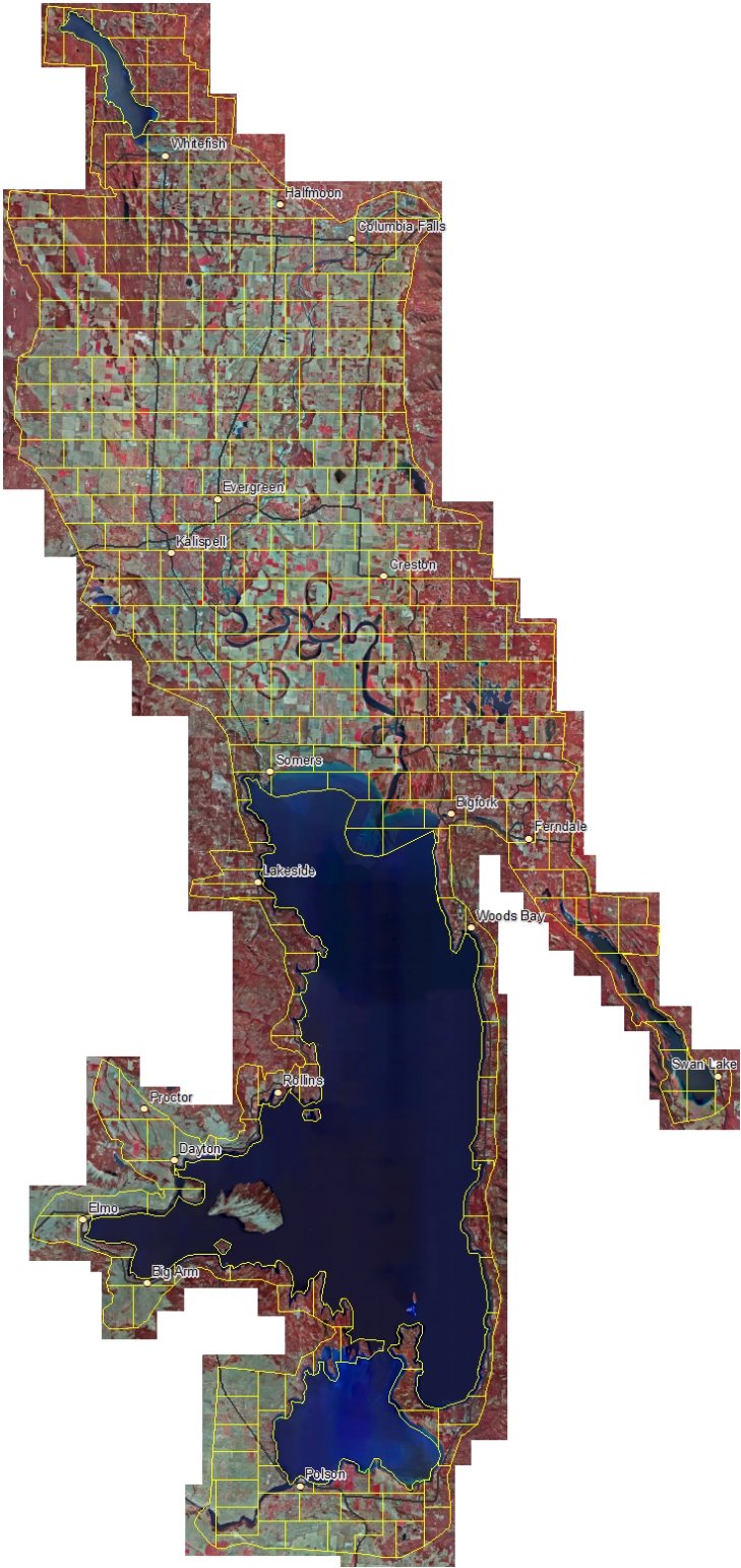
The data consists of over 2,000 individual files that each cover about 170 acres. For this web site, groups of about 6 files were placed in zip archive files, with each file covering one of the areas outlined in yellow below. Click on an area to download the zip file for that area. Each zip file is about 250 megabytes in size, but they range in size between 10 and 650 megabytes. The entire collection of files is approximately 115 Gigabytes.
Shapefile index to downloadable files
This web site is intended for quick access to data for a small area. If you need this data for a large area sent to you, please contact the State Library.