Home
Data and Documentation
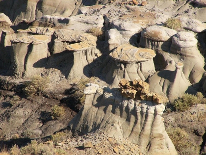 The Montana Geology Framework data is the best available digital geology data representing the geologic features of the State of Montana. The geology theme is a constantly evolving data set. It is not a theme that is static. Although the rocks themselves might not change, what geologists think of them will definitely change. The Montana Bureau of Mines & Geology provides geologic data sets for 121 areas of Montana including metadata, reports, correlation charts, & unit descriptions.
Applications
MBMG GIS Data Hub Site: https://gis-data-hub-mbmg.hub.arcgis.com/
Geology data, maps and applicationsAbout
The Bureau distributes geologic map data collected from field research. Nearly all mapping projects are generated and distributed at a particular scale. The MBMG Publication Catalog contains a map pamphlet for each data set with the accompanying information. Current efforts focus primarily on completion of mapping at the 1:100,000 scale in western Montana. Special focus areas receive added emphasis due to growth or development interest in geologic information. Geologic data is used for natural resource development, land use planning, and hazard mitigation. Stakeholders include mineral and petroleum development companies, engineering and geotechnical firms, land use planners, university staff (professors and students), prospectors, and rock hounds. The geology theme is a constantly evolving data set. It is not a theme that is static. Although the rocks themselves might not change, what geologists think of them will definitely change.
Theme Lead
John Sanford
Montana Bureau of Mines and Geology
jsanford1@mtech.edu
(406) 496-4606
